
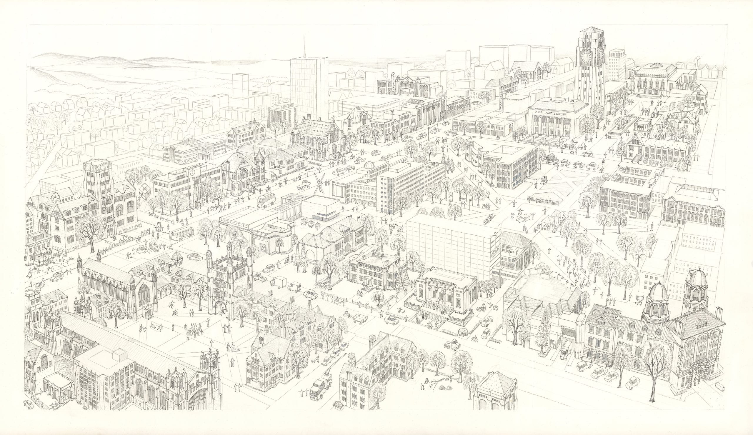
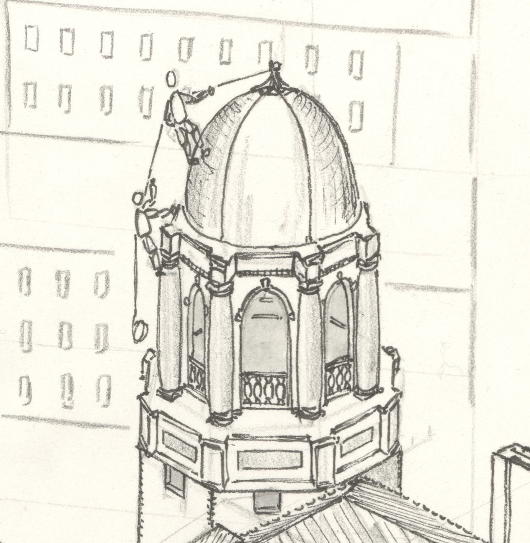
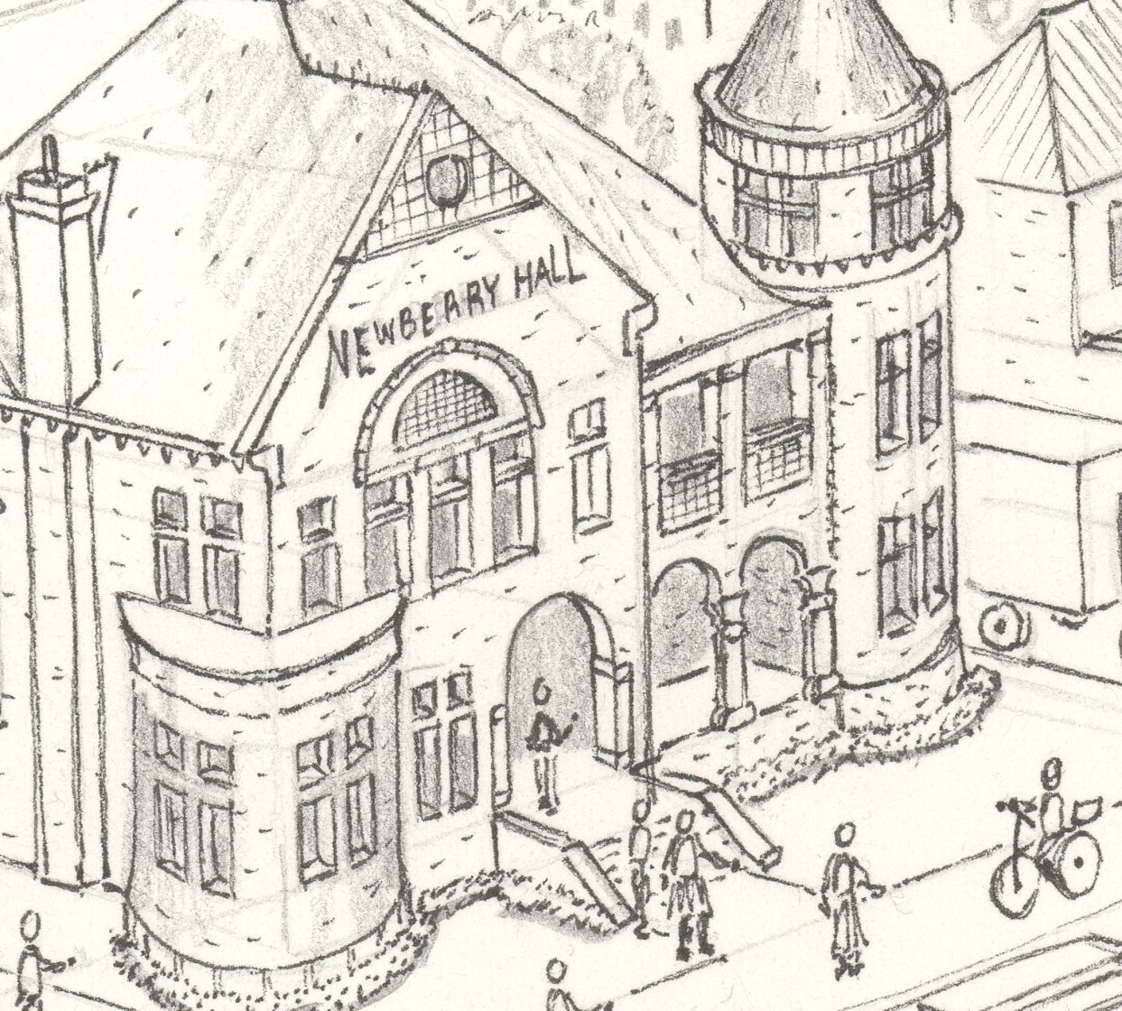
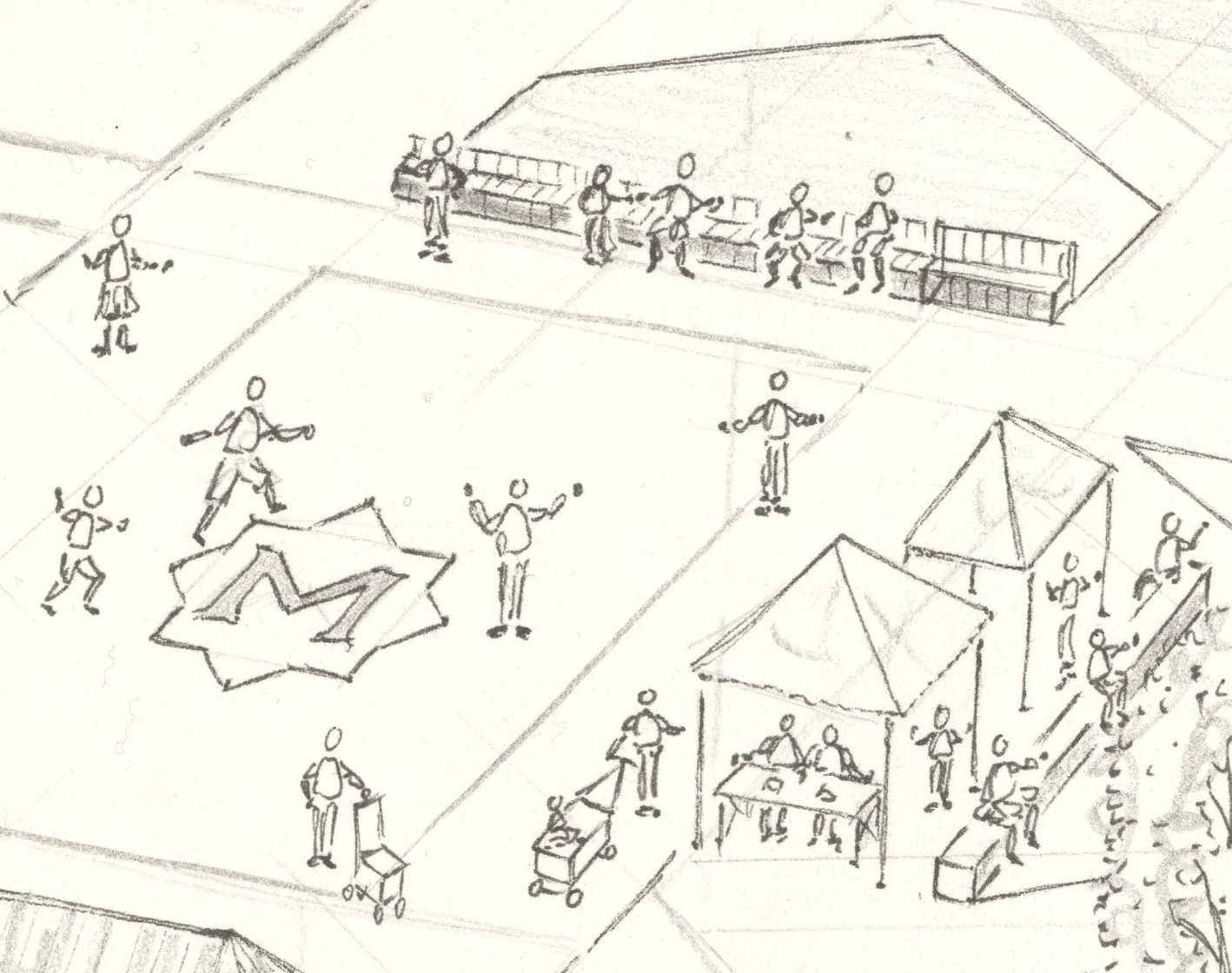
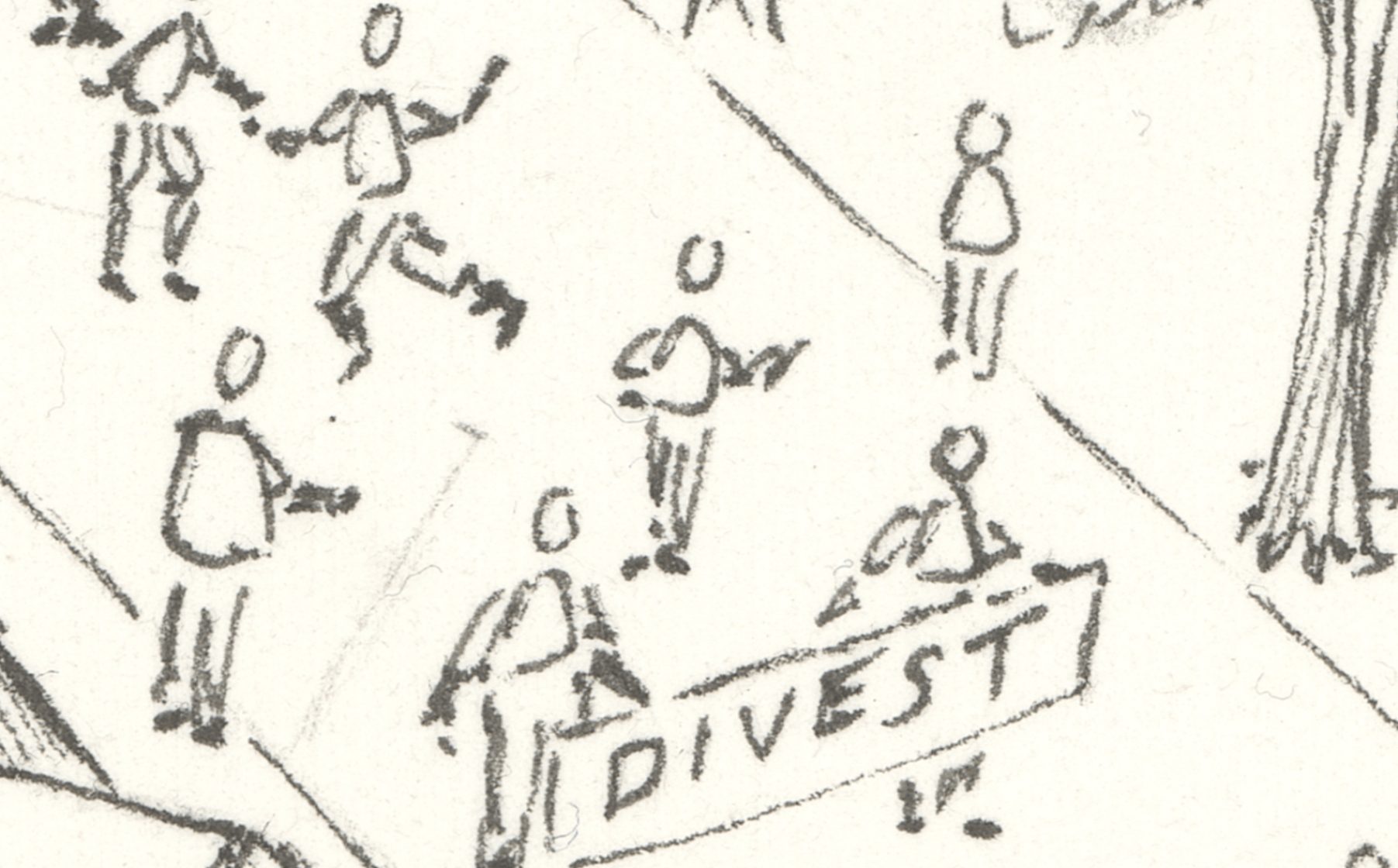
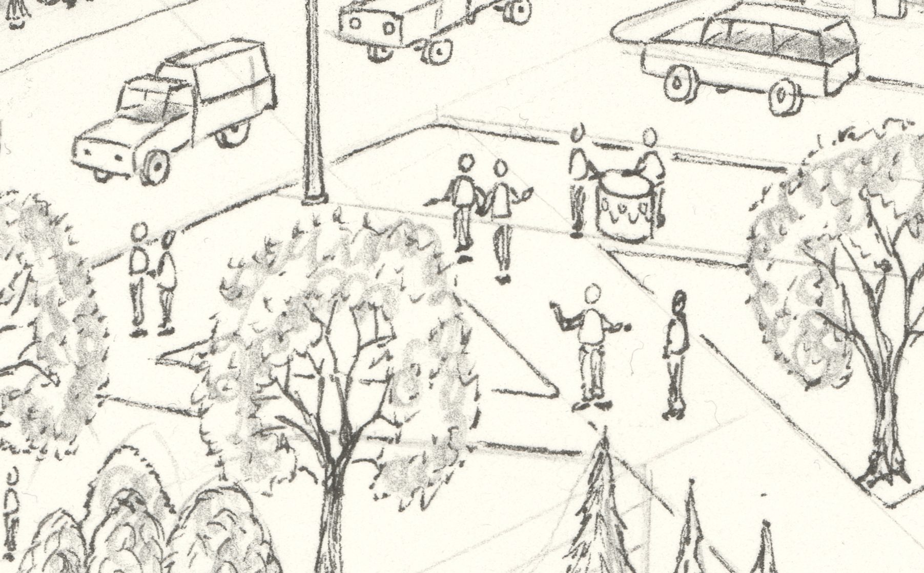
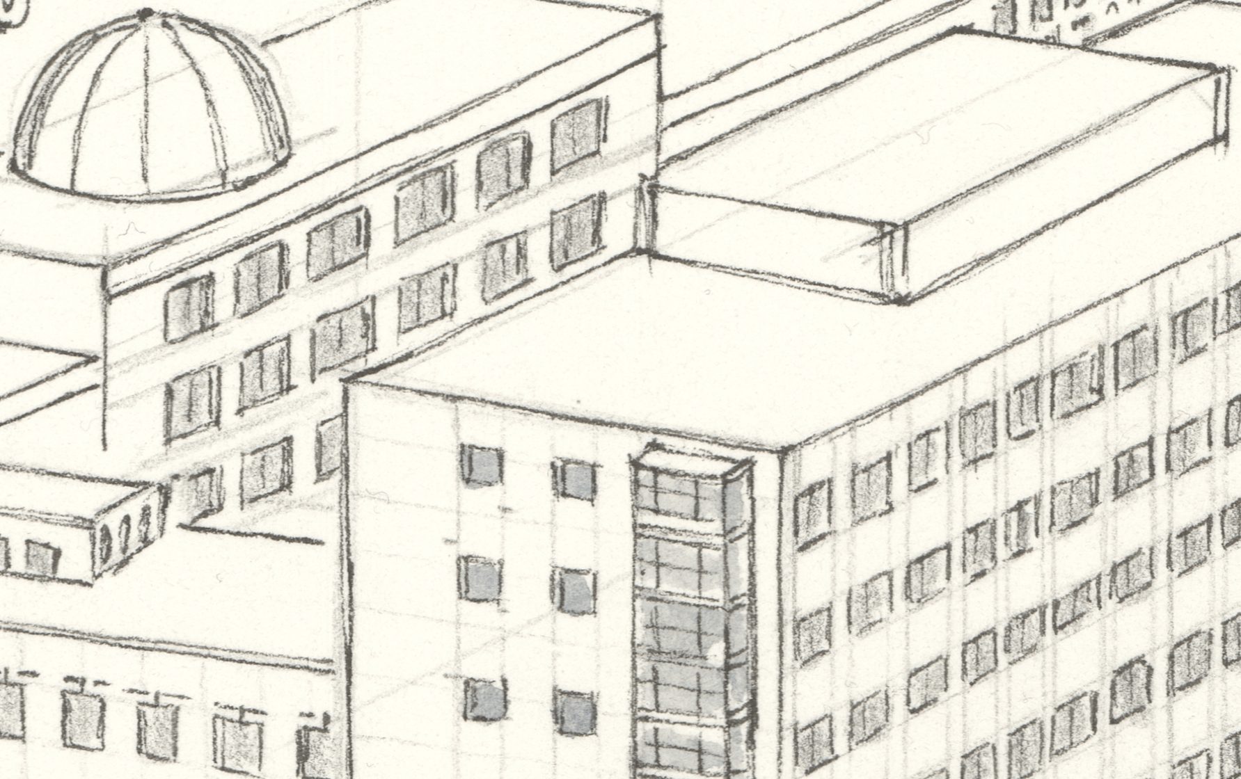
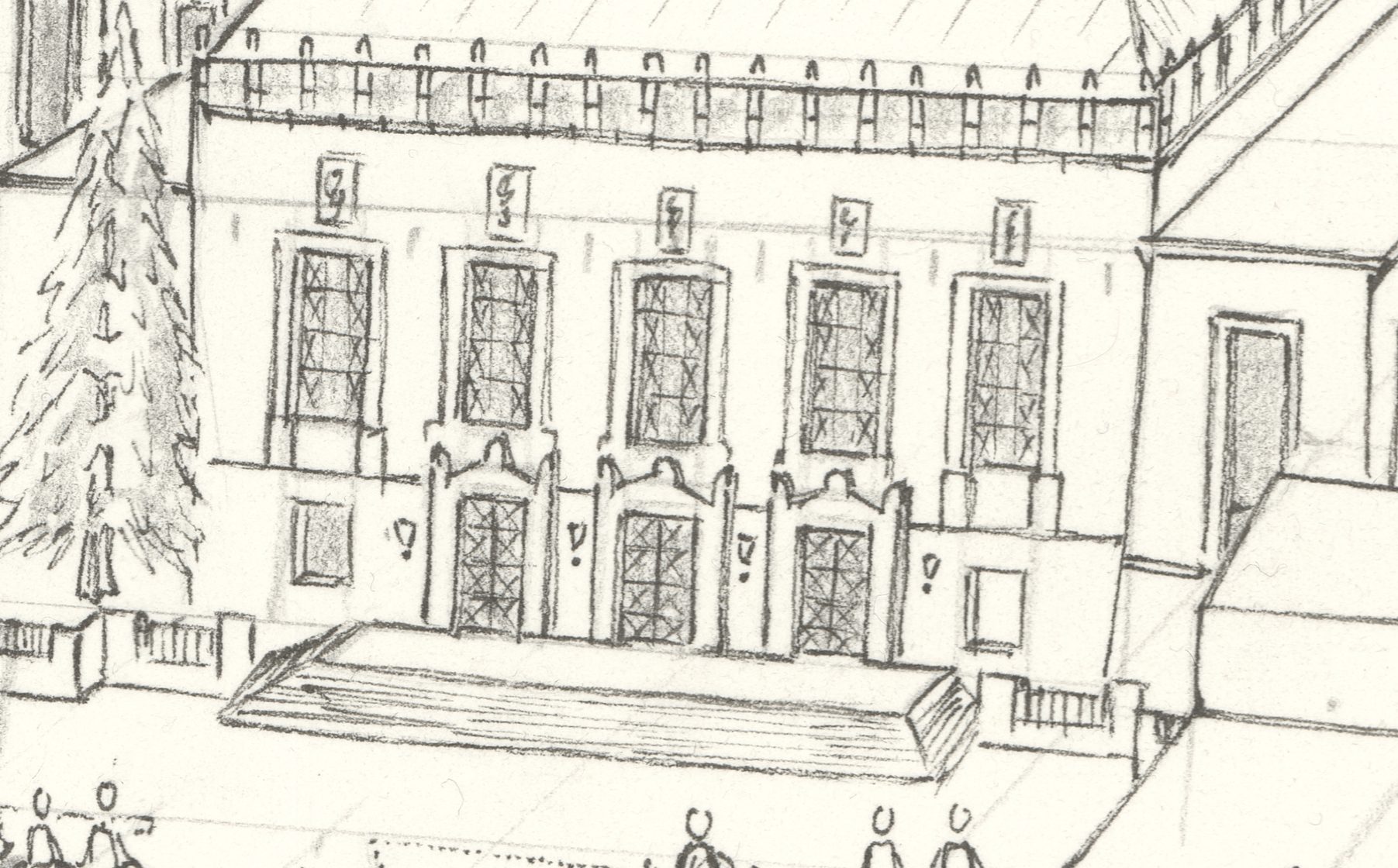
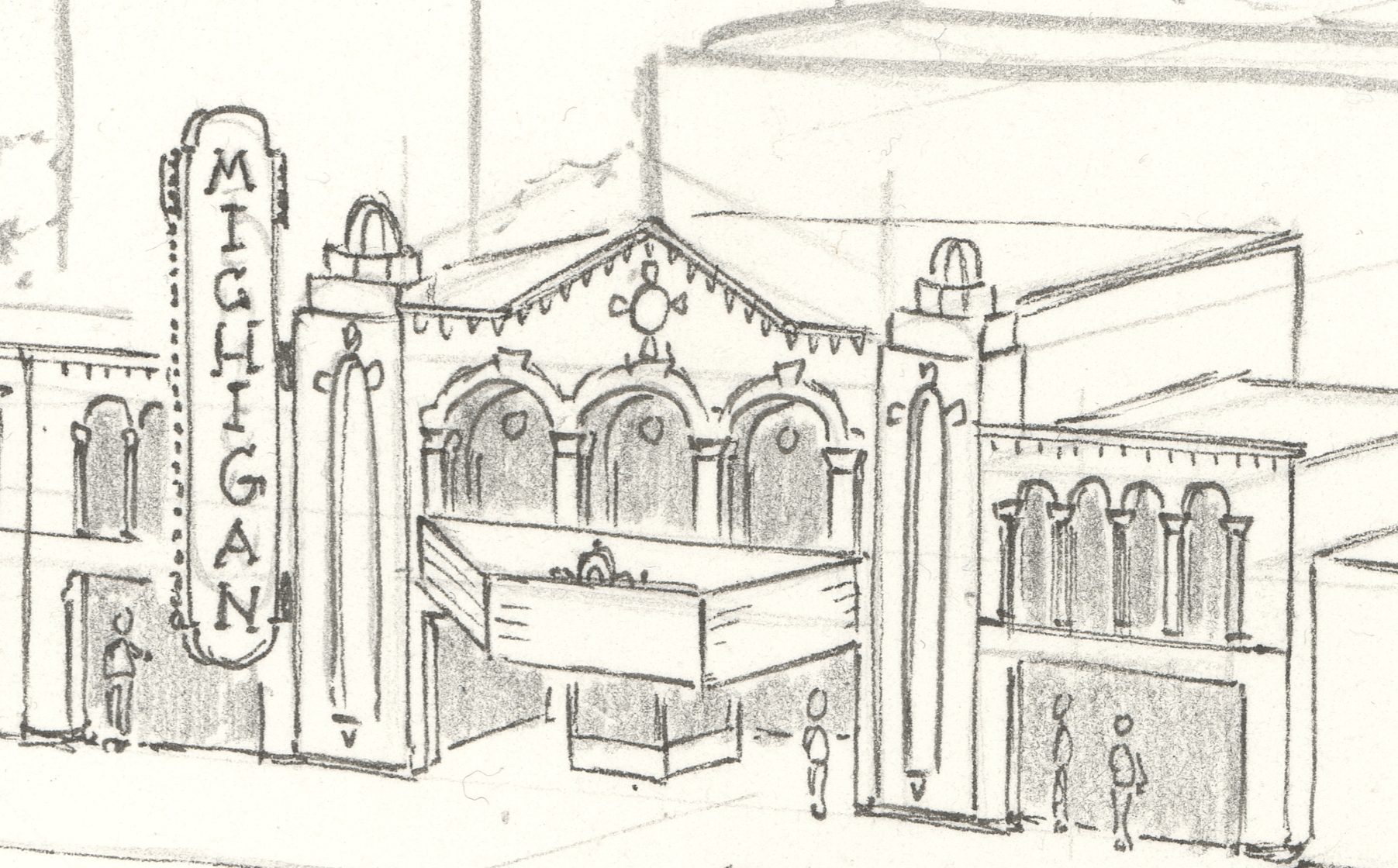
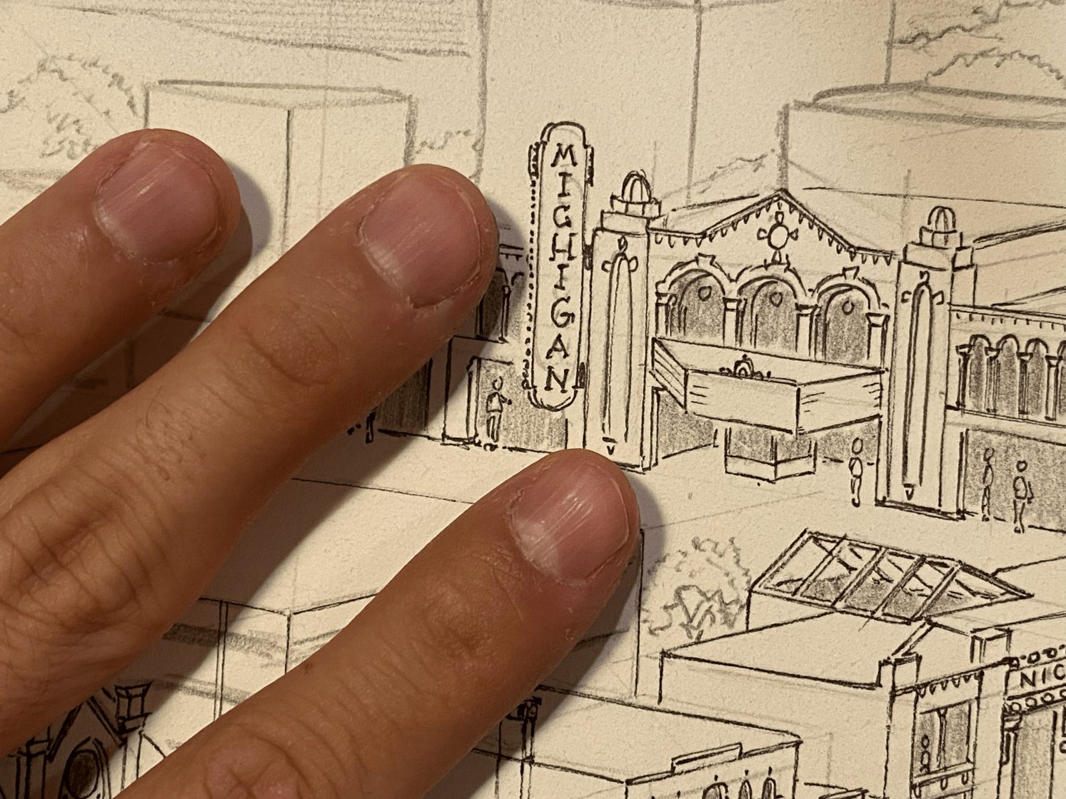
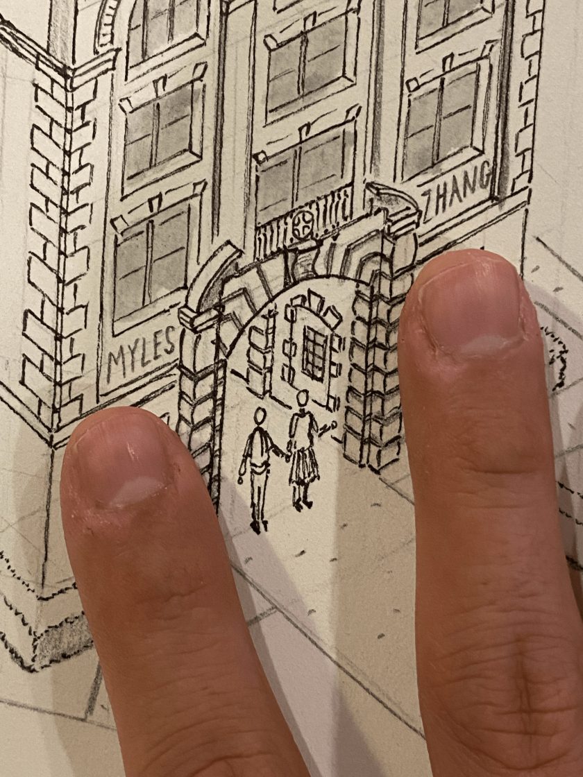
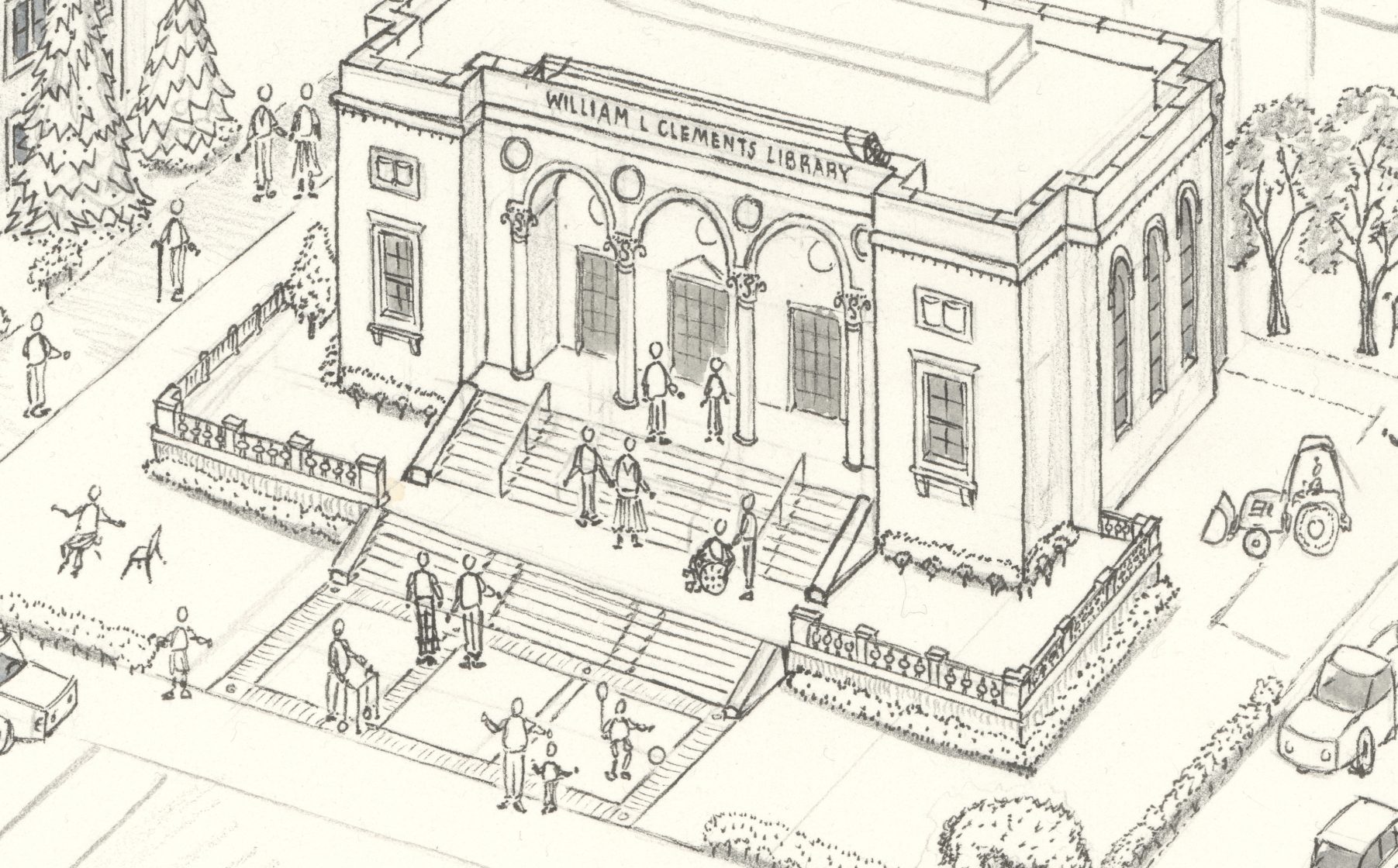
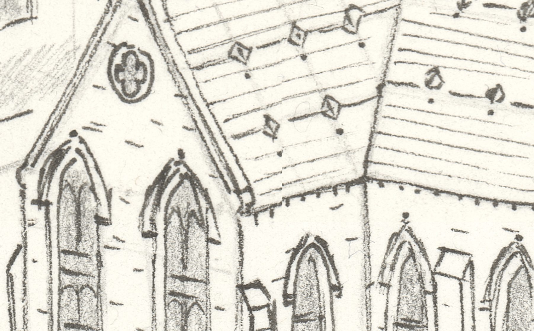
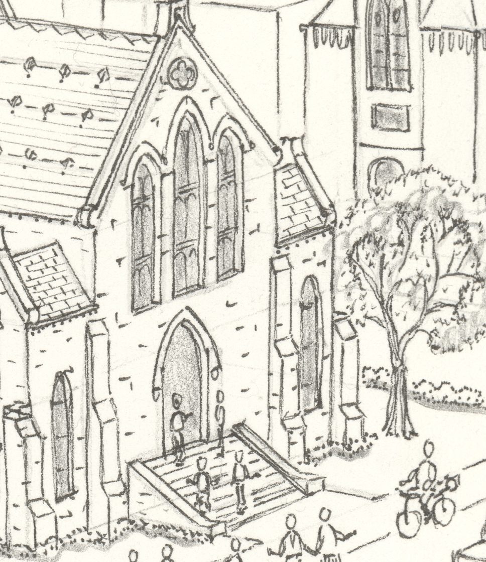
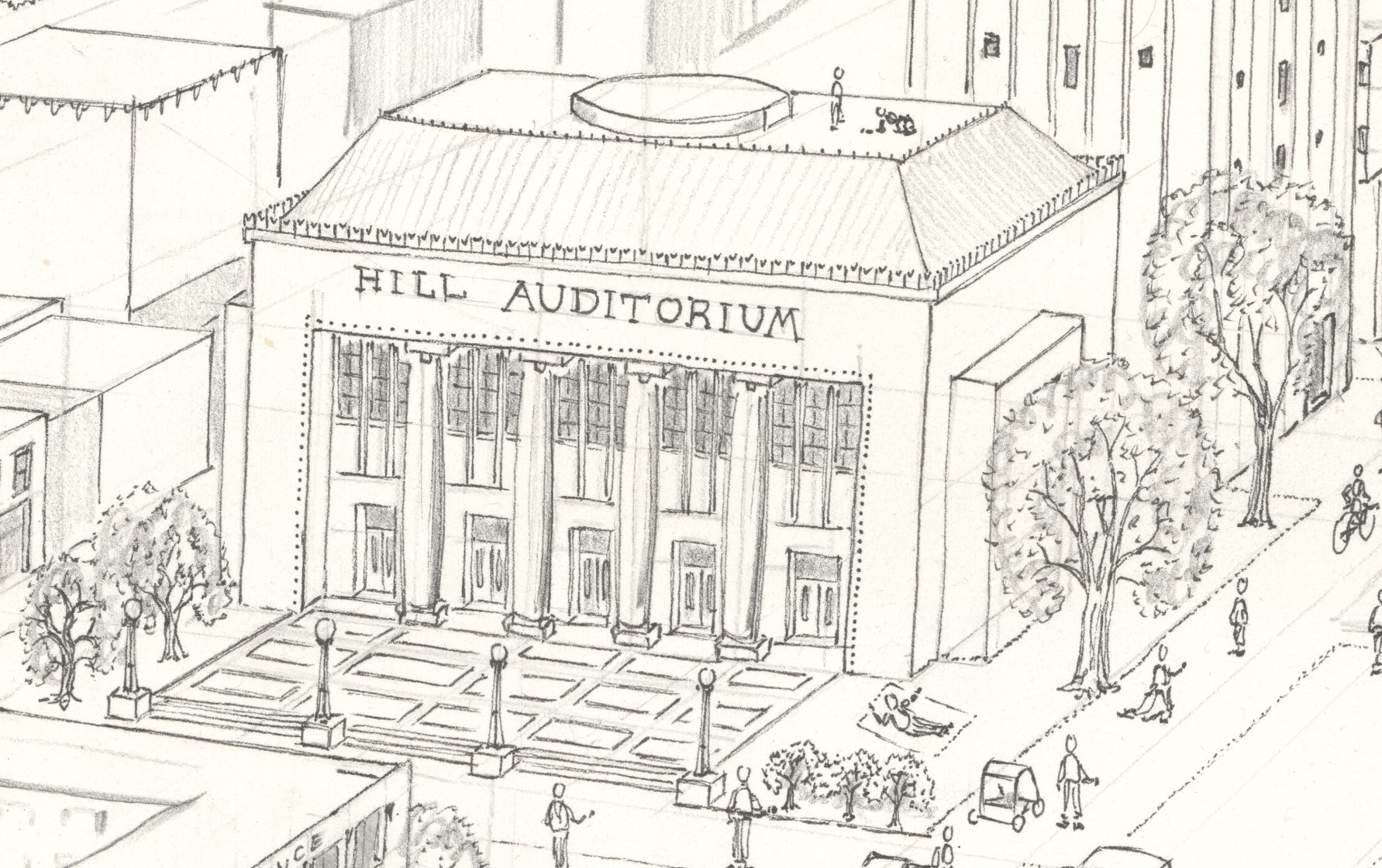
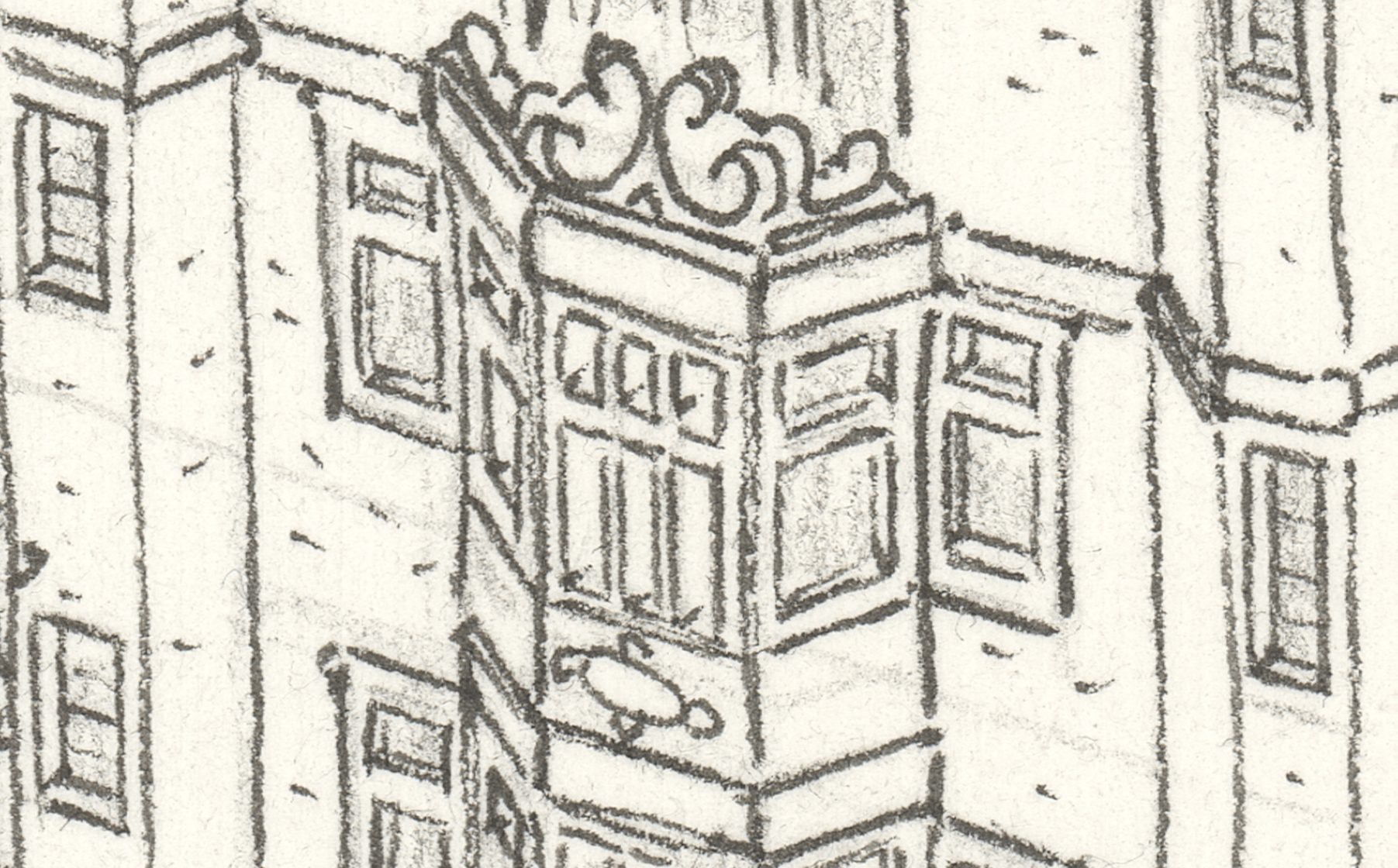
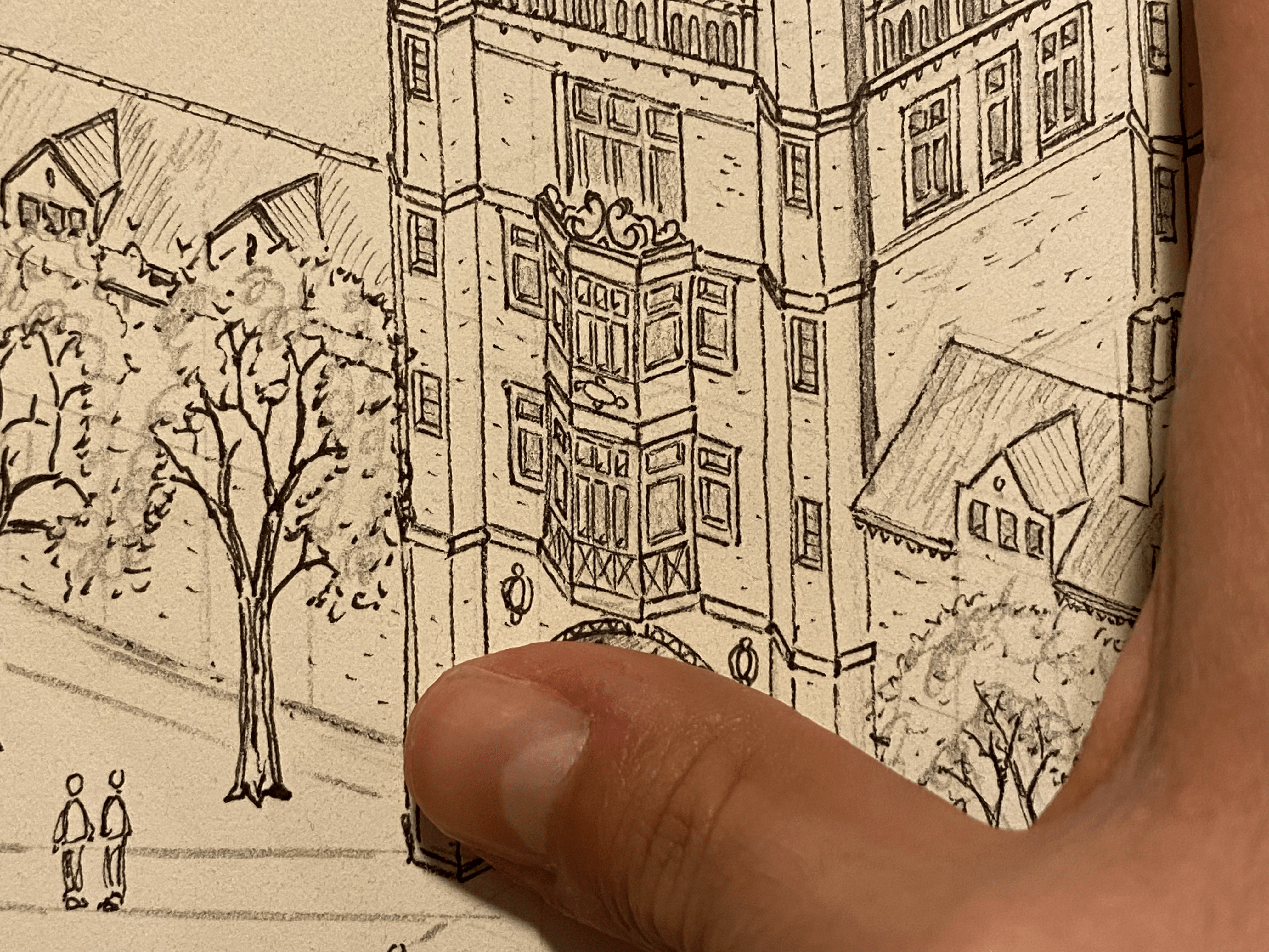
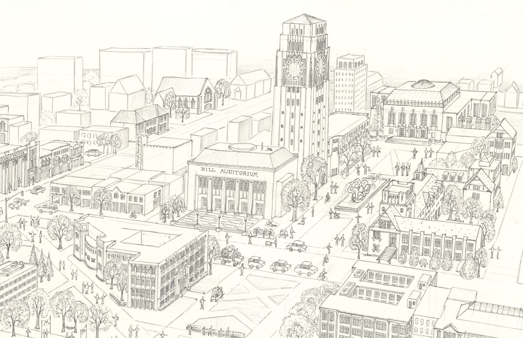
I made a map of each place where I lived an extended period of time: Newark, New York City, Oxford University, Columbia University, and now the University of Michigan. This map depicts almost every major landmark on the University’s central campus and took about 300 hours to create over the past 18 months. Click the image for full resolution or scroll down for details.
Medium: ink on paper with watercolor wash
Dimensions: 26 by 45 inches (66 by 114 centimeters)
Sources: synthesized from Google Earth, satellite images, maps, and street view
Please contact mylesz@umich.edu to order artist quality prints of this image. The image can be printed at any size you need: as small as 10 inches to as large as 180 inches wide with no loss in image quality.
View full size image >
Image is provided at resolution suitable for viewing, but not for large-format printing.
Please contact me for the source file.
1. Image Annotated with Building Names:


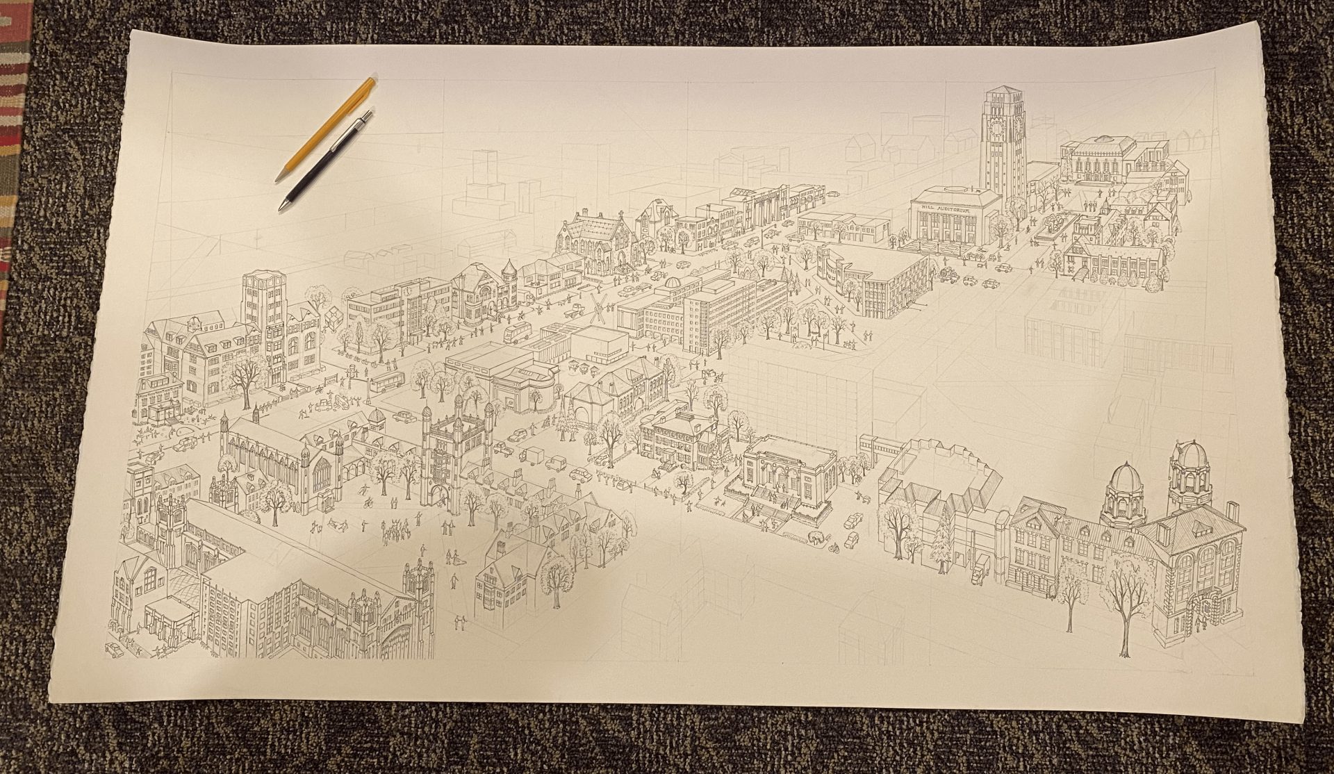
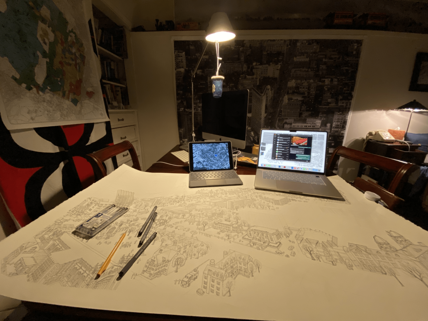
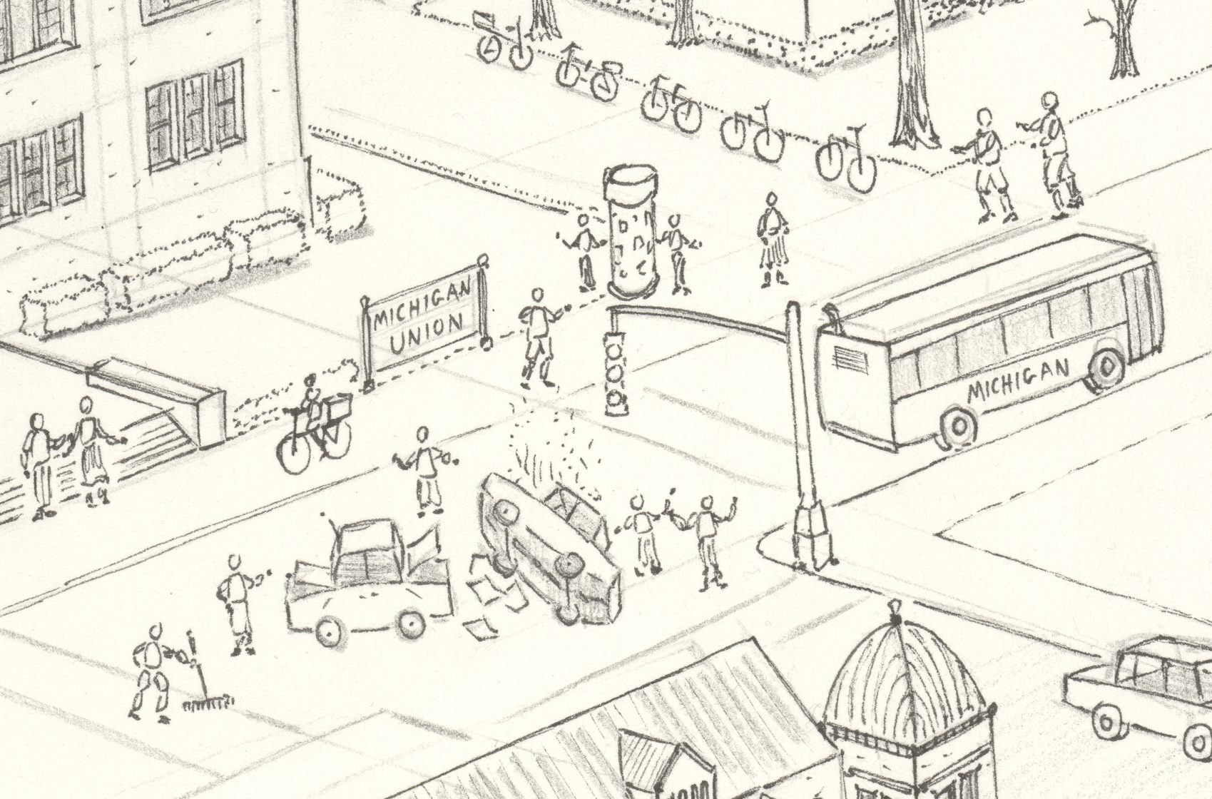
2. Work in Progress:


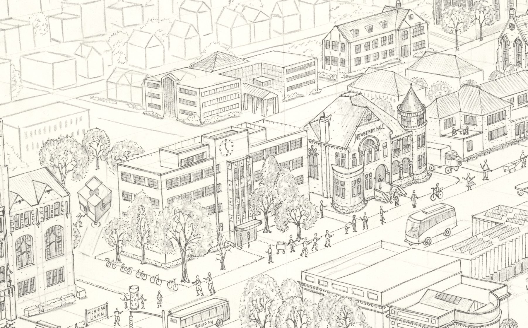
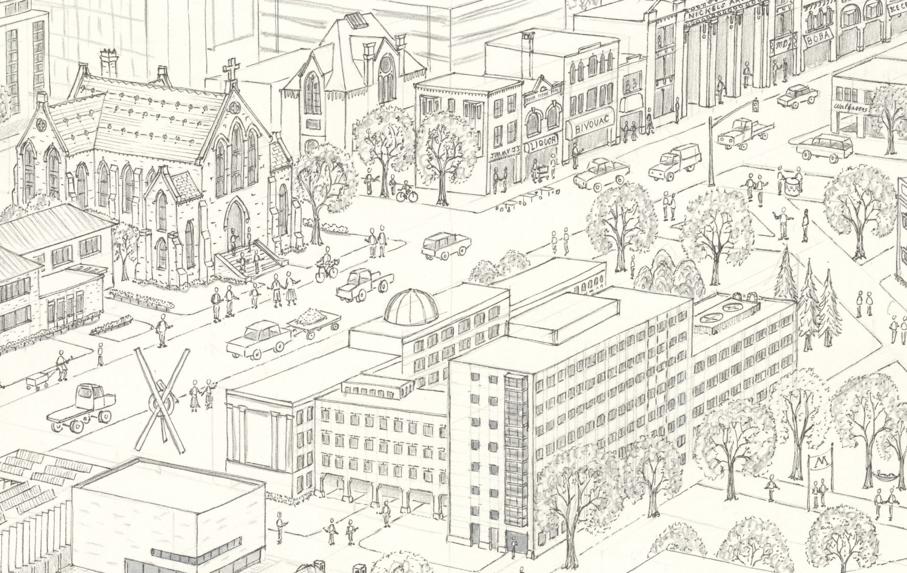
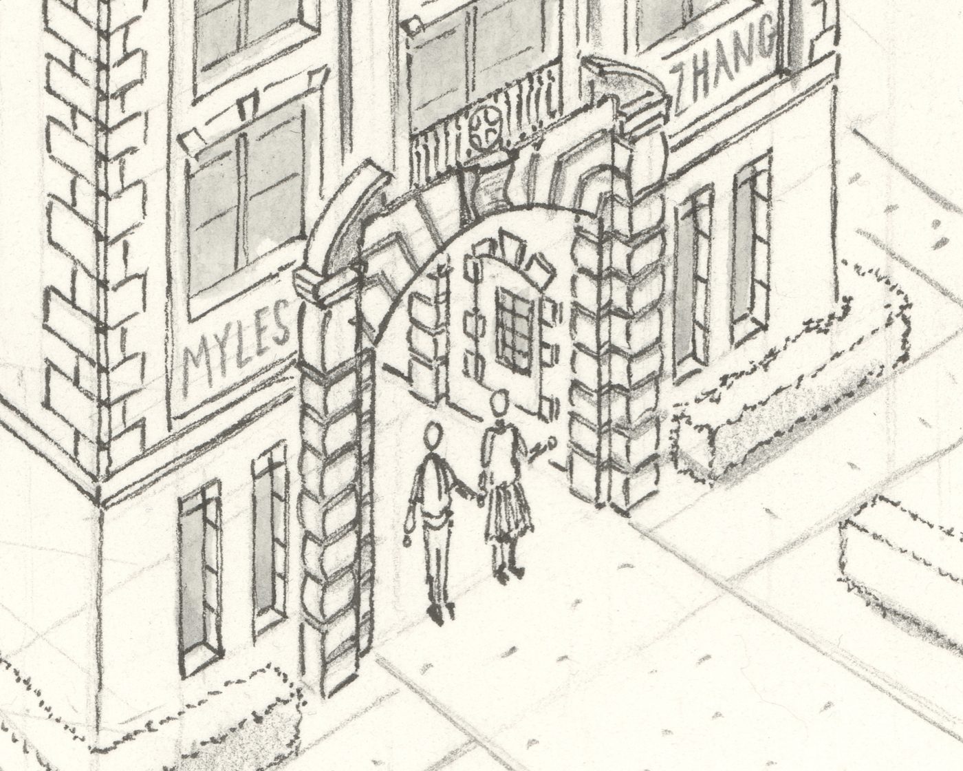
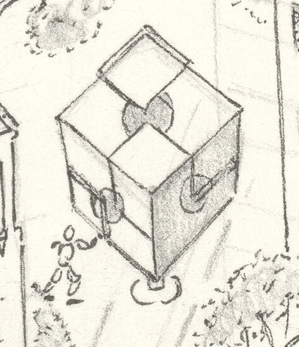
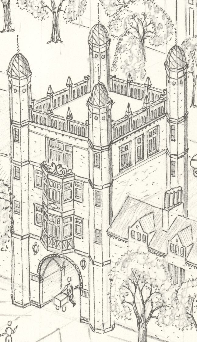
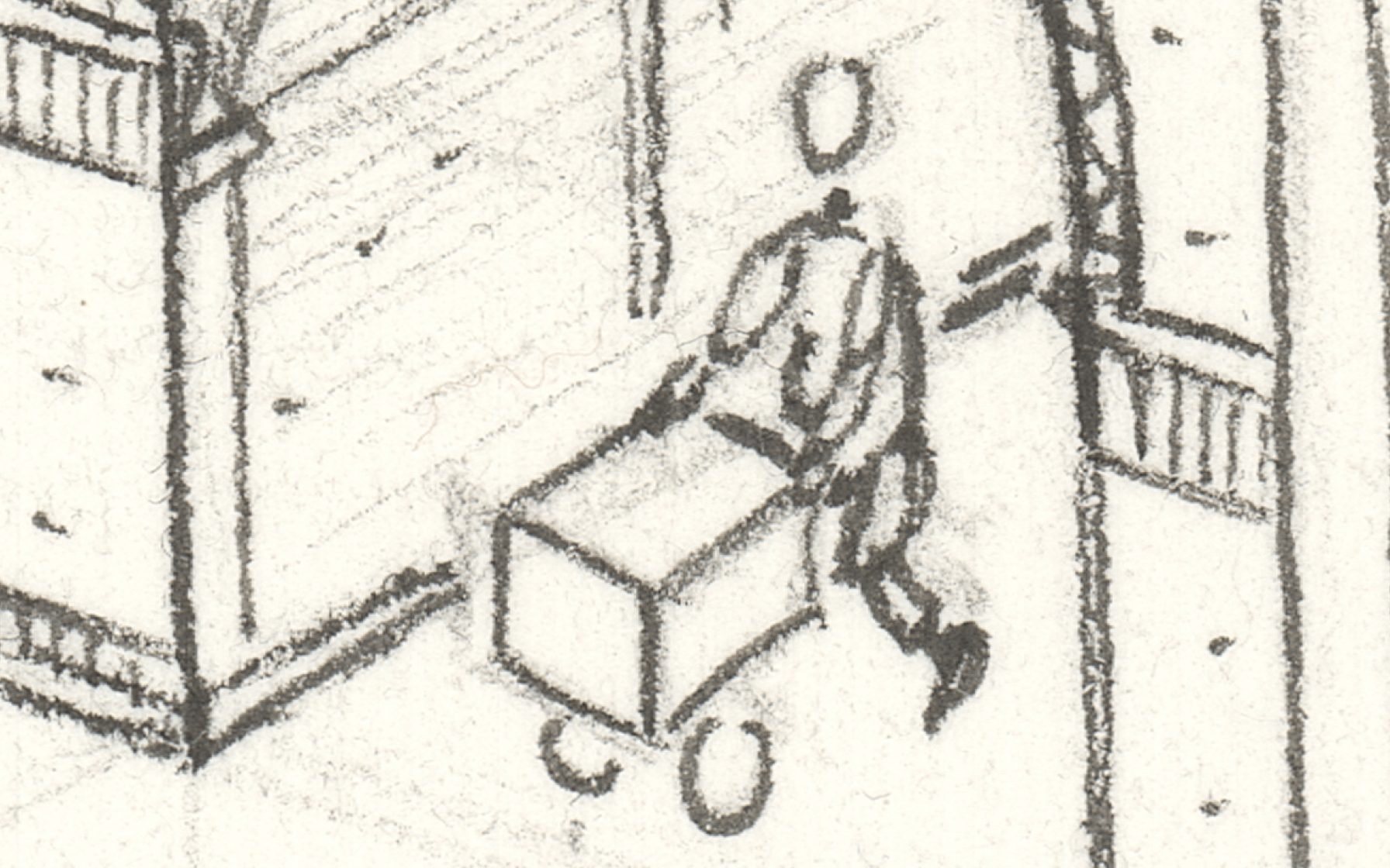
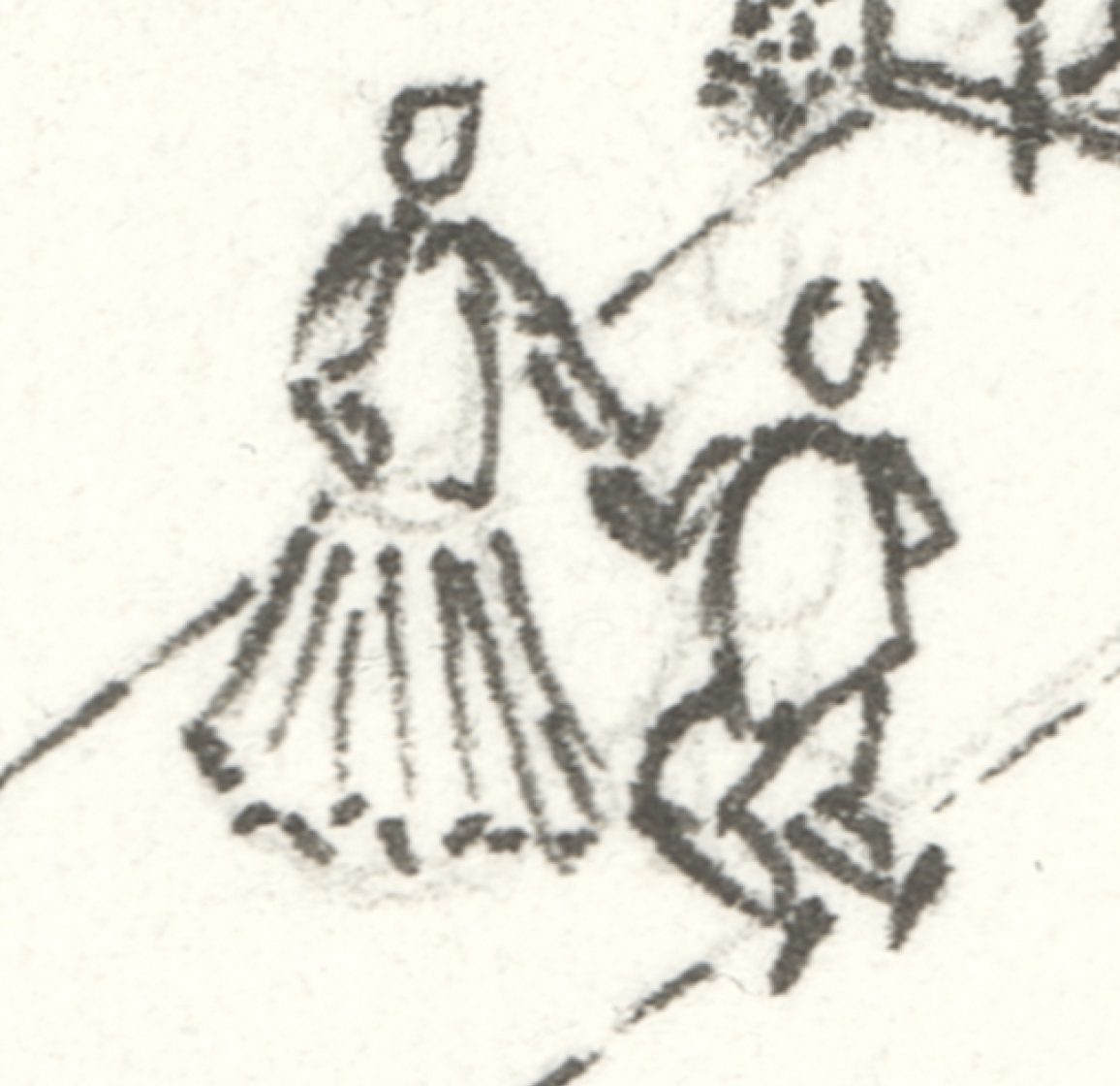
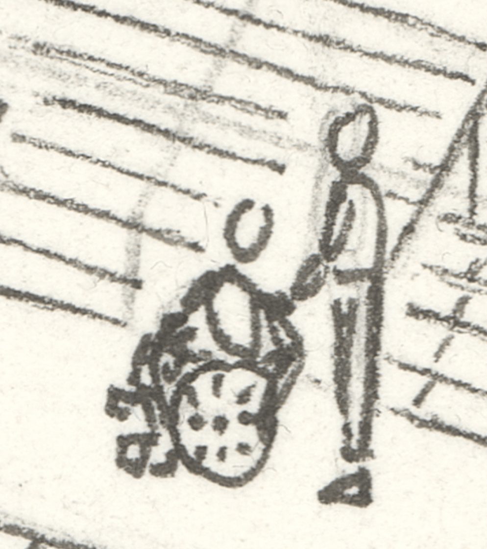
3. Detail Views:


View full size image >
Image is provided at resolution suitable for viewing, but not for large-format printing.
Please contact me for the source file.