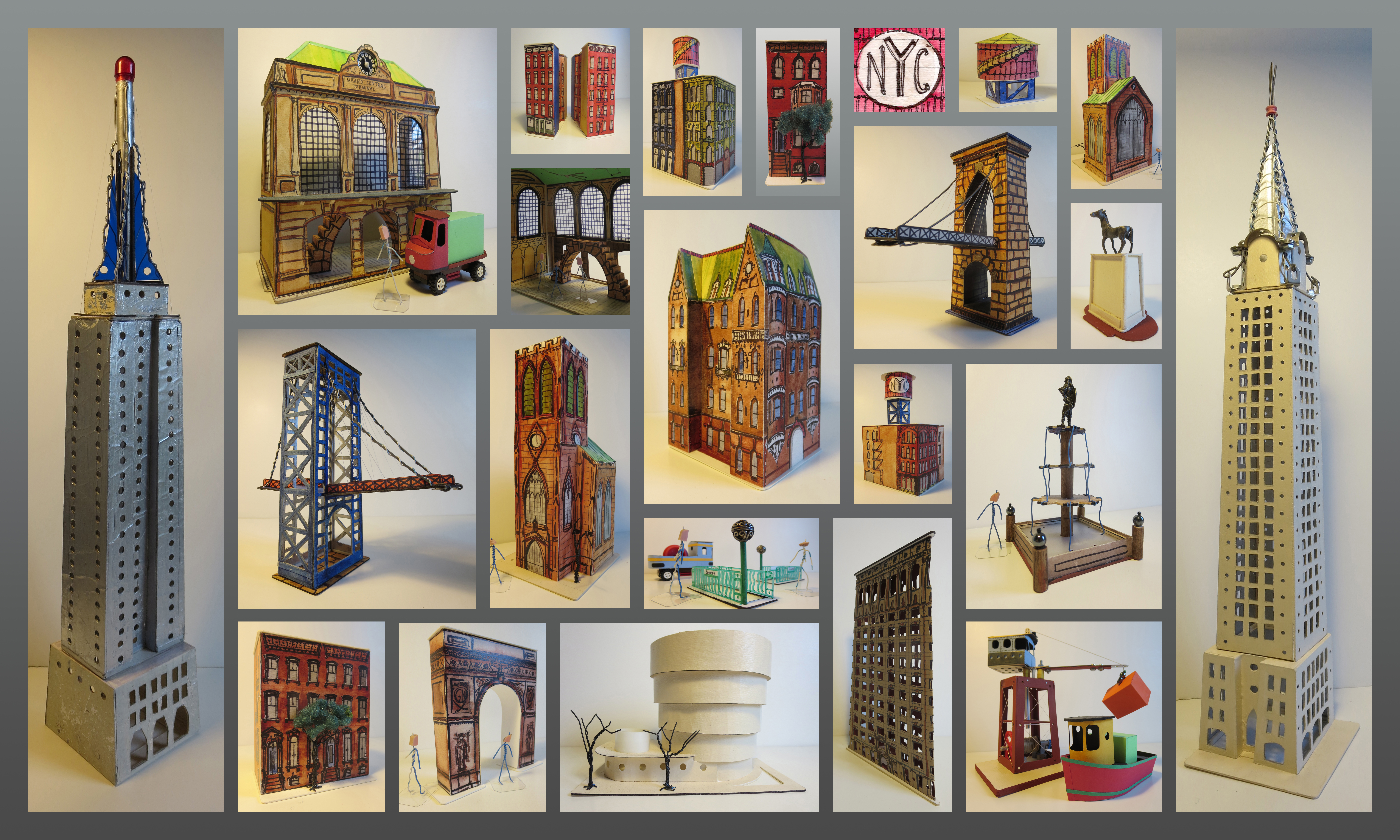
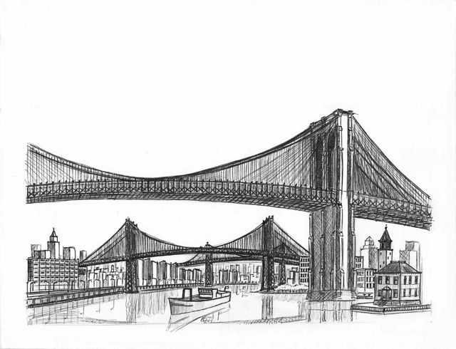
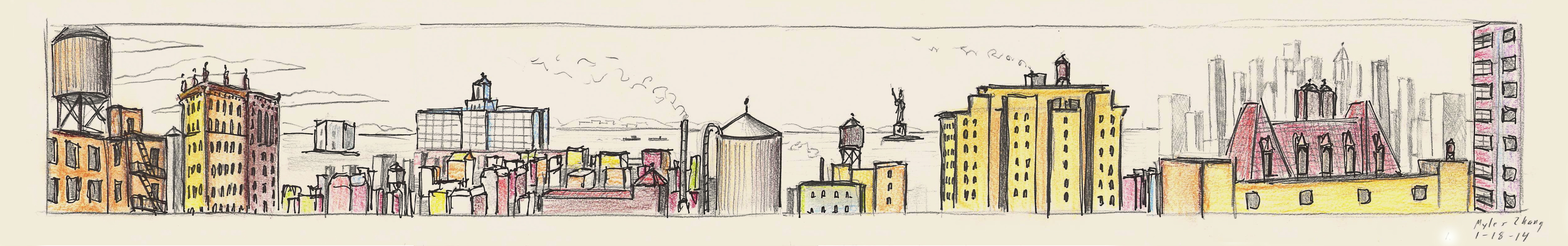
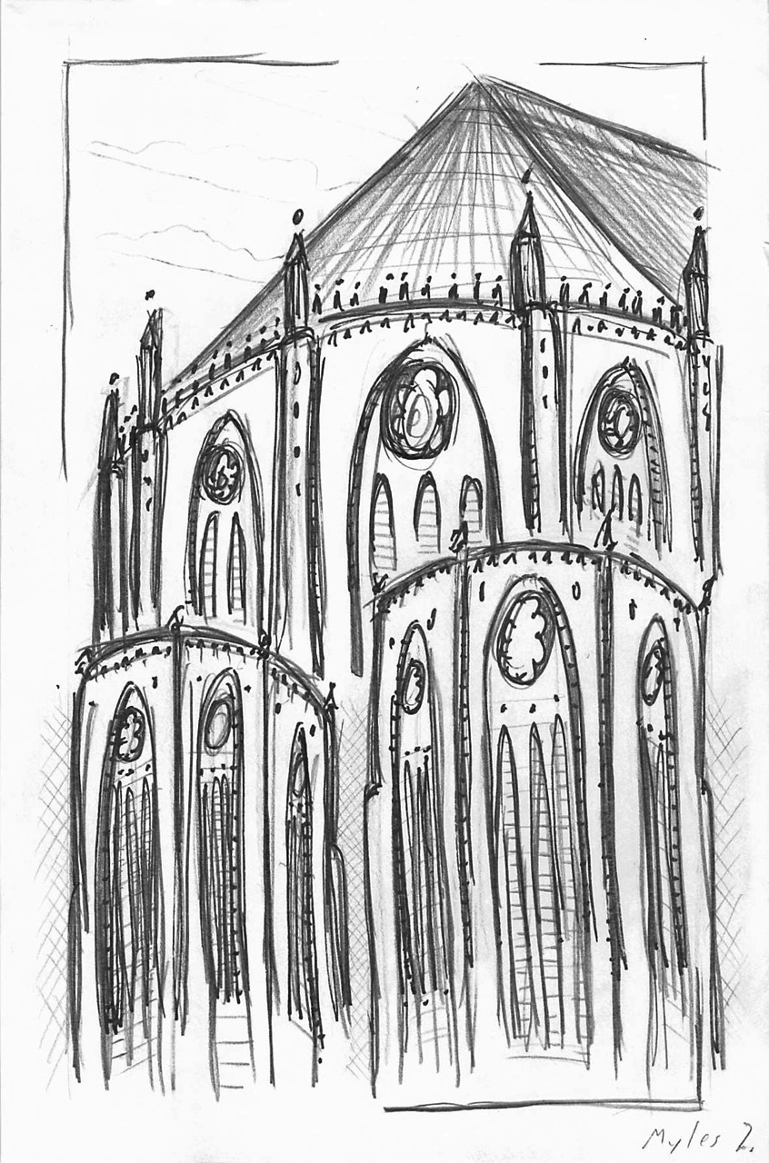
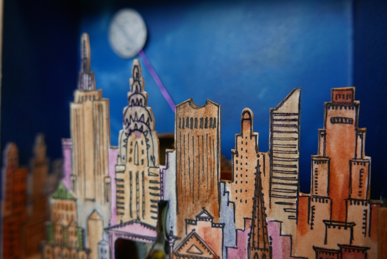
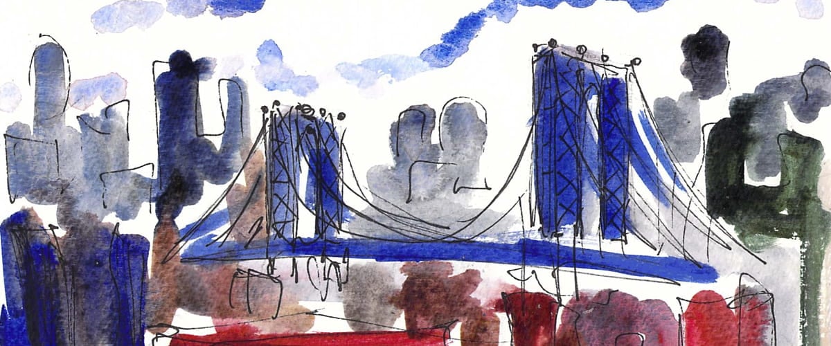
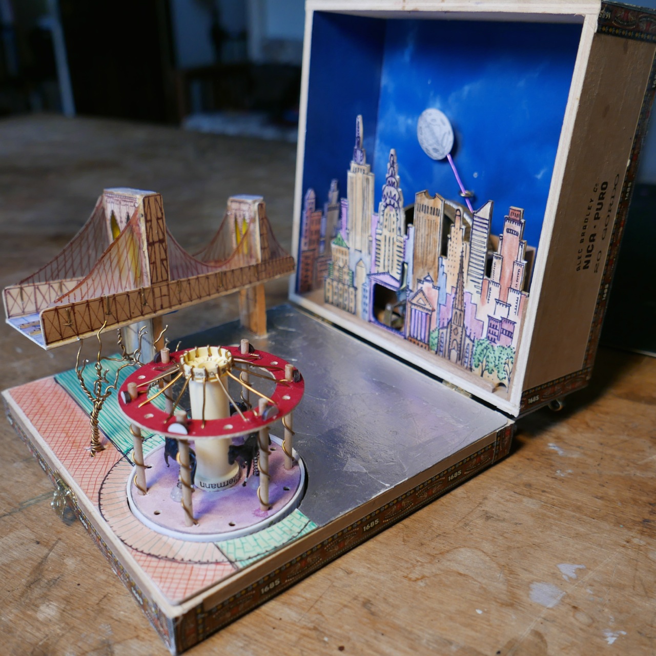
Mapping Manhattan Chinatown’s Public Realm

Inspired by reading the book Manhattan’s Public Spaces:
Production, Revitalization, Commodification
by Ana Morcillo Pallarés
Created with architect and urbanist Stephen Fan for City as Living Lab
Funded by the University of Michigan’s Rackham Program in Public Scholarship

.


View full size image.

Chinatown’s Public Realm

Along Mott Street, boxes of fruits and vegetables from the US, Latin America, and China flow from the private open storefronts and onto the public sidewalks and curbs. Forklifts navigate around crates and delivery trucks as vendors, residents, tourists, and shoppers–from regional Asian restaurant owners to West-African immigrants–animate the narrow walkways. After business hours, private produce stands become public places to sit, chat, people-watch, or nap as a sidewalk masseuse sets up two chairs on the public sidewalk to provide his private services.
Away from the commercial corridors, teenagers sit in circles sipping on bubble tea on the Pace High School track while senior citizens slap playing cards on a makeshift table along the track perimeter. Inside the Chinese Consolidated Benevolent Association, teachers begin their Chinese language class while protesters in Columbus Park call for ending violence against Asian Americans.
In creating this map, we hope to stimulate conversations about how public space can be better used, designed, managed, and reimagined: to inspire action in shaping a more resilient and inclusive public realm.

.

.

Read the map in English and Chinese PDF. 阅读简体中文版

.

.

Process

This map illustrates the public/private uses/spaces of Manhattan Chinatown’s pedestrian life. The map is divided into two sections: the upper depicts public spaces, and the lower section private spaces. From left to right are a spectrum of private to public uses.
In consultation with Chinatown residents and based on a series of walking tours and community forums, we developed the themes and activities shown on this map. We were inspired from reading Jane Jacobs and Michael Sorkin’s descriptions of street life and the delicate balance of public vs. private uses that play out on the city sidewalks. We hope this map will be a classroom and community resource to equip the public with a language and questions to interrogate their own built environments.
Below are scenes from a community event we held in summer 2021. Chinatown residents were invited to annotate an early draft of our map with their experiences and memories of the community.


Chinese music: Feng Yang (The Flower Drum)

.


Architecture of Endurance in Manhattan Chinatown

As featured by City as Living Laboratory
And the Municipal Art Society of NY

.

Eldridge Street Synagogue and Manhattan Bridge

.

Welcome to Chinatown. With a population of ~150,000, this neighborhood is the largest ethnic Chinese community in the Western Hemisphere. Join us on a mile-long walk through space and time.
A few questions to keep in mind during our walk:
+ How has Chinatown changed over two centuries of urban growth? What has not changed?
+ What other cultures and ethnicities lived here before or simultaneously with the Chinese?
+ How are the challenges the Chinese faced imprinted on the built environment of Chinatown?
+ How does Chinatown street life blur the boundary between public and private space?

.

Interactive Tour Map

.

Read More

.

Thank you to Liza Cucco, Olivia Georgia, and Stephen Fan for co-creating this virtual tour. City as Living Laboratory has been exploring this neighborhood through walks for many years. A recent initiative explored issues of climate, equity, and health in Chinatown’s unique food system.

.

All New York City in one drawing

View full size

Opens in new window

.

The scan above is suitable for viewing but not for large-format printing. Please request access to the full-size scan at ~400dpi

.

This ink on paper drawing represents 800 hours of work over several months. The dimensions are 45 inches high by 79 inches wide (114 cm by 201 cm).
This panorama shows NYC looking northwest from above Governor’s Island and Red Hook. The Statue of Liberty, Ellis Island, and Staten Island are outside the frame. The view is accurate as of summer 2017 and does not include buildings built after this time.
View on Google Earth where this image is taken from.
The image features ~4,493 buildings. For the largest and most important buildings, more attention is paid to detail. All of Manhattan’s bridges and major parks are included. Any buildings excluded were done so because they were either too small, too distant to include, or not visible from the angle this image is taken.

.

Image Inventory

● 1,769 buildings in Manhattan
● 436 buildings in Brooklyn
● 1,072 buildings in Queens
● 76 buildings in Bronx
● 1,140 buildings in New Jersey
● 9 construction cranes
● 25 water features
● 28 churches
● 47 ships
● 56 bridges
● 74 water towers
● 348 cars
One metropolis
5,080 features of the built environment shown

.

.
Riding Professor Kenneth Jackson’s all night bike tour through Gotham’s history inspired this image. Traced in orange below is the route of Jackson’s bike tour: starting at Columbia University’s Low Library, through Central Park, across Midtown to Washington Park, along the Hudson River to Wall Street, and then across the Brooklyn Bridge.

Drawing with route of Kenneth Jackson’s bike tour

.

What gave me the idea for this project?
My goal in ten years is to research and teach about art history and urban studies. Unfortunately, most aspiring professors do not get to choose the city where they work. Because I might not have the privilege of working near New York City, I wanted to draw a keepsake of all my youthful memories and experiences here. I have a photographic memory walking through the city. So I have memories that relate to all the buildings shown. I plan to frame this on the wall above my desk.

.

What was the most difficult part?
Because the image is ink on paper, there is no way to erase a mistake. At the later stages, any slip of the pen might have destroyed several months of work.
I am delighted with the result, but the process was tedious and required drawing thousands of windows. I never counted how many. I could only work a few hours per day before becoming exhausted. I will never attempt a drawing like this again because it is so time-consuming, and I am unlikely to ever find myself trapped again at home for such a long period of time. Fortunately.

.

Has the current pandemic changed how I think about NYC?
The pandemic is forcing me to appreciate NYC from a distance. Even if I am afraid to ride public transit, this drawing – and the experiences it represents – will always be a part of me.
I can see this pandemic slowing down some gentrification and keeping the built environment similar to my drawing for a good few more years. I am just afraid that, with so many businesses closing, the city might emerge from this pandemic unfamiliar to how I remember it in this drawing.

.

Annotated Map

Click red label to view detail area in detail.

.

.

New York City in a Box

As featured in this article from Live Auctioneers

.

.

.

Inspired by the Stettheimer Dollhouse at the Museum of the City of New York, this pop up model in a recycled metal box (measuring 8 inches wide by 15.5 long and 2.5 deep) reveals a miniature world of New York City architecture and landmarks within. About 30 buildings made from hand cut paper and tin are spread across a flat ground of painted streets. Each building is made from a single sheet of paper that is cut and folded like origami to create different shapes and sizes. A hand cranked lever operates a mechanism of chains and gears hidden beneath the  paper surface of the city streets. These gears move the magnetized trains and airplanes through the city.

.

.


.

Hand-crank and music box recording from Freesound

Columbia University Artwork

Featured in:
The Columbia Daily Spectator in September 2016
The Columbia student newspaper in October 2016
The 2018-19 edition of the Asia Pacific Affairs Council journal
– And the Columbia College alumni magazine in spring 2020

.

A map of campus

.

This ink and watercolor drawing shows every building, window, and architectural detail on campus. The number of windows on each façade are faithful to reality. There are at least 2,000 windows. The perspective was formed from Google Earth satellite and street view images. The image measures 26 by 40 inches and is framed in my dorm room. I wanted to create a souvenir of my four years at Columbia. Years from now, I will look at this image and remember.
The scan below is suitable for viewing but not for large-format printing. Please request access to the full-size scan at ~300dpi
View more artwork like this about my experiences walking in New York City.

.

.

Columbia Campus

.

.

Ink sketches of campus

.

.

Columbia in a Box

.

Before my first year at Columbia University, I assembled this tiny model of the campus out of painted and folded paper. Each building was measured out on a flat sheet of paper, decorated, painted, cut out, and then folded. Each building is made with no more than one sheet of paper. This creation folds out of a vintage cigar-box. Dimensions: 5 inches wide, 9 inches long, and 3 inches deep.

.

Music: Columbia University Fight Song

.

.

Timelapses of Morningside

.

This project features six time-lapse sequences of Columbia University’s campus. I mounted a camera above my desk as I drew and painted each watercolor.

.

Music: Columbia University Fight Song performed by Justin Zhao

.

New York Chinatown: time-lapse drawing

Chinese music: Feng Yang (The Flower Drum)

.

This time-lapse of Manhattan Chinatown took sixty hours to complete and measures 26 by 40 inches. Chinatown’s tenements are in the foreground, while the skyscraper canyons of Lower Manhattan rise on top. This shows the area of Chinatown bordered by Bowery, Canal Street, and Columbus Park.

.

Model of Jane’s Carousel in Brooklyn

.

A wind-up music box featuring Jane’s Carousel along the Brooklyn Waterfront. When closed, the antique cigar box measures a mere 7 by 7 inches and 3 inches deep. When opened, the Brooklyn Bridge and historic Jane’s Carousel fold out. The carousel spins to the tune of the music while the moon slides across the night sky.
Materials: $4 cigar box, $5 wind-up music box, electrical wire (for trees), plastic lids for wheels, string, tape measure, tin foil, and thick paper

.

Carousel with my hand and a pen for scale.

Walking in Manhattan

Featured in this March 2019 interview from Ratrock
And in this July 2016 article from The Edublogger

.

Strolling in New York City is a world tour. The street fairs of Spanish Harlem mesh into college town Columbia. Columbia gives way to the shabby chic of Harlem. A few blocks farther and I am drowned by the tourists of Times Square. Further still and I reach the bustle of Wall Street brokers. I stroll and try to identify the passing languages. Spanish in the outer boroughs. Polish in Greenpoint. Russian in Brighton Beach. Cantonese in Chinatown. French and German shoppers in SoHo. There could be no more fitting a place for the United Nations.
Reading Here is New York by E.B. White, I realize some aspects of New York have changed little in the past seventy years. The streets, cars, and tenements are different, but the essential spirit of dynamic and diverse urbanism remains. Here is New York.
Learn more about my New York walks in this mini lecture. Or browse the collections below of photos and drawings. They are organized into ten urban walks, with each day in a different Manhattan neighborhood.

.

Day One: Chinatown and Lower Manhattan

.

City Hall Park and the Financial District

.

The image above is one of a series of six, each measuring 26 by 40 inches. Each drawing is of a single neighborhood in New York City, based on Google Earth satellite imagery. The drawing took between 60 and 100 hours of work.

.

.

This ink and watercolor drawing of NYC Chinatown expresses my lifelong connection with this neighborhood. The Chinese moved here by necessity in the nineteenth century and were condemned by poverty to these narrow alleys and cramped rooms. Over time, they made the space their own through interventions in the cityscape. The large corporate skyscrapers and government offices in the distance tower over the immigrant tenement blocks.

.

.

View more of my artwork about Chinatown.

Or read this essay reflecting on the everyday lives and architectures of Chinatown residents.

.

Day Two: SoHo

.

Mercer Street in SoHo

.

.

.

.

Day Three: The East and West Village

.

.

Day Four: The High Line

.

.

Day Five: Madison Square

.

Domino Sugar Factory (view from Williamsburg Bridge)

.

Day Six: Midtown

.

.

Jurgen from Germany

Jurgen from Germany

A musician named Jurgen approaches and observes my painting of Grand Central Terminal.
Jurgen: You are an artist.
Me: No, that is a title I have yet to earn. Are you from Germany? You sound like the director Werner Herzog.
Jurgen: Herzog? Him? His films put me to sleep. [Jurgen shows me his noteboook.] If I lived in Nazi Germany, the Nazis would burn my work, maybe even me. My grandfather, he used to go to rallies to give the Nazi salute. I still don’t know why he did that. I don’t think he even knew.

.

A Latin American man driving a pickup truck rolls down his window and asks:
Him: How far is the Statue of Liberty from here?
Me: Oh… About seven miles.

.

Jihadist proclaims that "America will soon be destroyed by fire!"

Convert proclaims: “America will soon be destroyed by fire!”

Elderly African-American man approaches and extracts a crumpled and blurry image of a dollar sign from his bag.
Him: Hey, can you draw me some money bags.
Me: Sure.
Him: You know, it’s for my product. I’ll pay you well. What’s your name?
Me: Myles Zhang
Him: You Chinese? You parents from China?
Me: No, America.
Him: No, China…!
He walks off.

.

Convert preaches the impending doom of America on Sixth Avenue and 34th Streets:
“The US government, they invented this virus that will kill off all the Black people.”

View more of my work about Grand Central Terminal.

.

Day Seven: Central Park

.

.

Day Eight: Riverside Drive

.

Waterfront

.

Day Nine: Morningside Heights

.

Cathedrals of Industry

Cathedrals of Industry: Saint John the Divine and the 125th Street Viaduct

.

View more of my artwork about Saint John the Divine.

View more of artwork about Columbia University’s campus.

.

Day Ten: Harlem and Washington Heights

.

125th Street Viaduct in Harlem

.

Golden Rectangles Superimposed

This composition visualizes movement through circling spirals that align to the Golden Rectangle.

.

View more of my artwork about Harlem and the Bronx.

.

New York City.

“The island of Manhattan is without any doubt the greatest human concentrate on earth, the poem whose magic is comprehensible to millions of permanent residents but whose full meaning will always remain elusive.”
– E.B. White, Here is New York

.

Reflection on Walking in New York City

Dedicated to Professor Brendan O’Flaherty for helping me apply to Columbia as an undergraduate. The following video lecture contains paintings and photos I compiled while walking in New York.

.

.

Learn more about my New York walks in this collection of photos and drawings. They are organized into ten urban walks, with each day in a different Manhattan neighborhood.
Strolling in New York City is a world tour. The street fairs of Spanish Harlem mesh into college town Columbia. Columbia gives way to the shabby chic of Harlem. A few blocks farther and I am drowned by the tourists of Times Square. Further still and I reach the bustle of Wall Street brokers. I stroll and try to identify the passing languages. Spanish in the outer boroughs. Polish in Greenpoint. Russian in Brighton Beach. Cantonese in Chinatown. French and German shoppers in SoHo. There could be no more fitting a place for the United Nations.
Reading Here is New York by E.B. White, I realizethat  some aspects of New York have changed little in the past seventy years. The streets, cars, and tenements are different, but the essential spirit of dynamic and diverse urbanism remains. Here is New York.