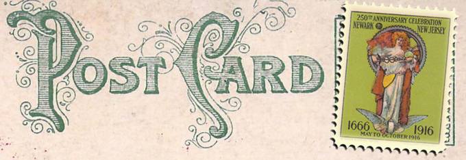
A story of urban change told through picture postcards
.
.
.
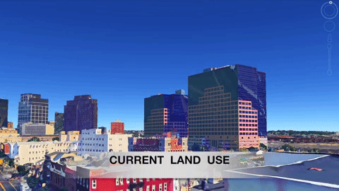
Over the past century, Newark lost much of its architectural heritage and urban fabric. Along with cities like Chicago, Camden, and Detroit, Newark’s built environment evolved in response to population loss, urban renewal, and suburban growth. Explore the changing face of Newark in this interactive map with 150 comparative views of past and present streetscapes.
All historic images in this series are selected from the Newark Public Library’s collection of c.1916 postcards. All new photos were taken in 2016 to commemorate the 350th anniversary of Newark’s 1666 founding. My images capture Newark around 1916, at a moment just before American cities entered the automobile era. Postcards were a medium of communication popular in the early twentieth century. Many postcards feature views of Newark’s important landmarks; others are of mundane street scenes and structures. Through color corrections, careful editing, and marketing, these postcards present a curated and idealized view of Newark as postcard artists, business owners, and city planners desired the city to be remembered.
.

[googlemaps https://www.google.com/maps/d/embed?mid=1P5ntPxQFU2xOCGh4A5LCSZc5HGs&w=2000&h=700]
Trouble navigating map? Watch video tutorial below. | View all images on a single page. | Spot a mistake? Contact Myles.
A city is more than its monuments, skyscrapers, and grand civic architecture. A city is a collection of structures, small and large, wood and stone, humble and grand. Newark has preserved its large monuments but has not maintained the cultural and urban fabric of its tenements, wood frame houses, warehouses, and single-family homes. Individually, these small-scale structures are humble and unimportant. Yet collectively, they constitute the living fabric of the city. Too many have been demolished in the name of progress, creating a cityscape radically different from the city’s height in the early twentieth century. For a short video about Newark’s evolving neighborhoods click here.
.
(Link opens in new window.)
.
Related Projects
.
Newark, a century after 1916
.
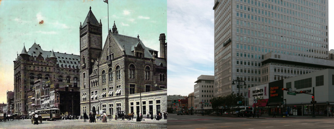
Downtown Newark in 1912 and in 2016. Note how the building at right, under construction in 1912, is now abandoned in 2016.
.
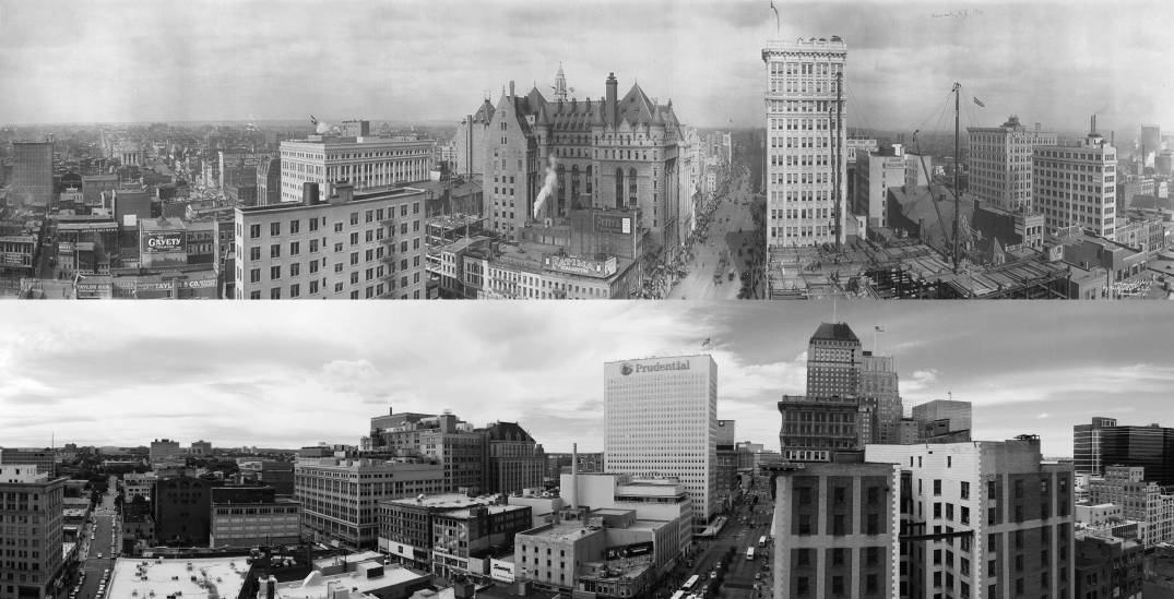
Prudential Insurance headquarters (left) and the City Post Office (right) c.1916. Both now demolished.
.
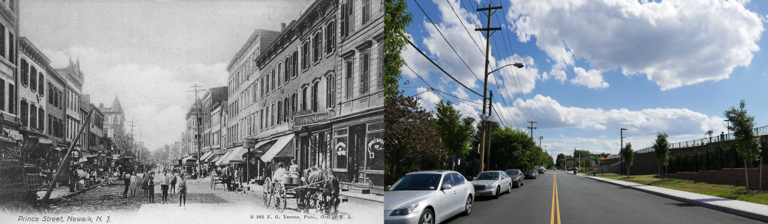
Prince Street in 1916 and 2016. The complete and total loss of a neighborhood.
.
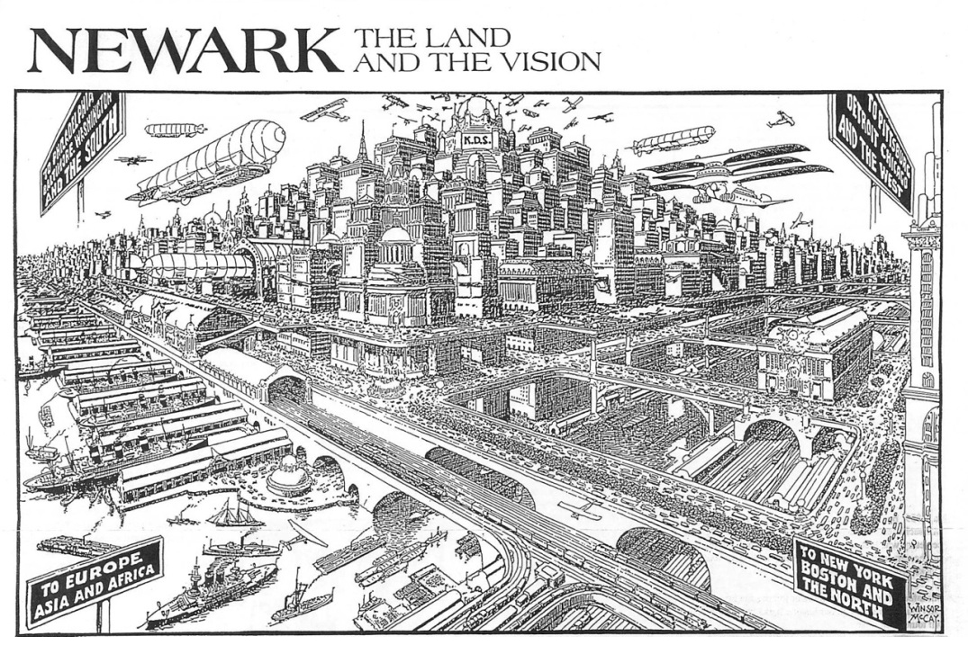
Drawing by Winsor McCary from a 1928 article “Newark 58 Years from Today” shows a futuristic city that never came to be.
.
(Link opens in new window.)


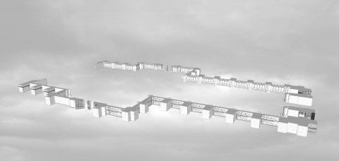
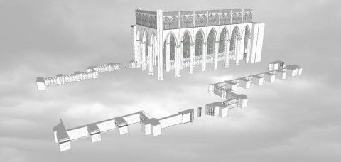
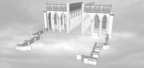
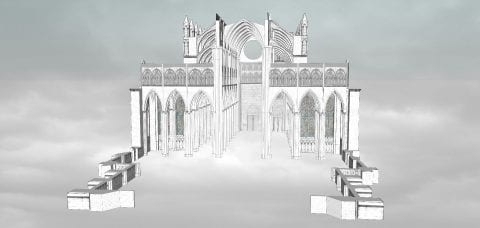
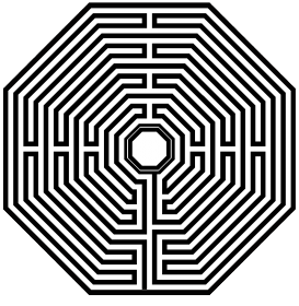
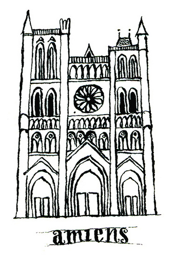 Along with the Parthenon, Amiens Cathedral is introduced each semester to students in Art Humanities. This seminar has been taught since 1947 and is required of all undergraduates as part of the Core Curriculum. Through broad introductory courses in art, literature, history, music, and science, the Core aims to produce well-rounded citizens of Columbia University students. Amiens was chosen as representative of all Gothic architecture, and as a lens through which to teach skills of visual analysis. This computer model I created instructs over 1,300 students per year.
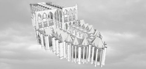
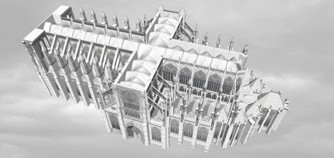
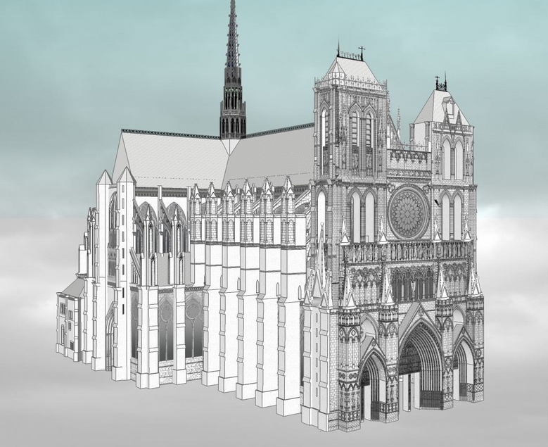 A building is experienced as a sequence of sights and sounds. A research text about such a building, however, can only capture limited information. Photography, film, and computer simulations are, in contrast, dynamic and sometimes stronger mediums to communicate the visual and engineering complexity of architecture. This project seeks to capture dynamic Amiens through a visual, auditory, and user interactive experience. Through film, one can recreate and expand the intended audience of this architecture, recreating digitally the experience of pilgrimage.